


It never happened. Just 48 hours ahead of us leaving (the bags were packed!) the state announced full emergency measures ... lockdown, travel restrictions, the works. Mount Gambier is far too close to the Victorian border for comfort. We'd intended to drive at least part of the Great Ocean Road, as far as Bay of Islands -- nope. We were due to leave early Monday ... and the border was closed at 4:00pm Tuesday. Even if we'd played it safe and stayed in SA (the original plan), there were secondary restrictions to be considered: regional lockdowns. By Sunday, the government was considering suburb by suburb" lockdowns, and traveling to the southeast seemed like a bad idea. So, what now?
First, stay closer to home. Day trips, then? We talked about Clare Valley, Riverland, Coorong. We managed Port Wakefield and Balaklava on one day (this was intended as a five-day trip), and as far as Meningie on the second day ... and even as close to home as Meningie, we encountered a SAPOL checkpoint. Police were stopping all wesbtound cars, even so close to home. "Where are you coming from? Have you traveled interstate in the last 14 days?" Obviously, the answer was no, and we were free to go on our way ... but this was also the point where we realized traveling at all wasn't such a great idea.
On top of all this, every cafe, restaurant, pub and hotel was shut, only serving takeaway from some venues ... and the weather was so frequently overcast, you couldn't rely on the sun for ten consecutive minutes. Pictures were always going to be difficult to get. Oh, boy. Soooo, we decided to make the best of a poor situation, and settle for what we'd got. Not-so-good weather and all, I took about 600 photos, so I'll paste a few of them in here to mark the occasion...
I'm posting on Wednesday, while Dave is out on a bike ride, and the state is basically ... well, locked down. (And I'm the first one to agree with this -- it's the smart thing to do! The US and UK could take a lesson is swiftness and thoroughness from SA. Generally speaking, and notwithstanding the moronic, selfish behavior of a comparative handful of individuals, we're doing it right.)
So, some pictures, to mark the date. First stop, Two Wells, basically just a bathroom break and stretch of legs, on the way to Port Wakefield for lunch. It's many years since I was there last; I don't know that Dave has ever been there. It's marvelous to note that the old town hasn't changed a bit. When the expressway went through, they situated it well west of the town, so Two Wells is quite, peaceful, a backwater with a lovely Greek tradition...


Then, on to Port Wakefield, as per the plan. Dave was in the mood for fish and chips; for myself chicken and chips, and then a hike around the coastal wetlands...


Port Wakefield is a town with a lot of character and history. It's turned into something of a truckstop, too; the most enormous rigs go through here almost nose to tail ... therefore, it's easy to get really good food. Since every cafe and restaurant was closed in the lockdown, takeaway was the answer! And very tasty it was, too. For a short while the sun actually shone; it got warm.
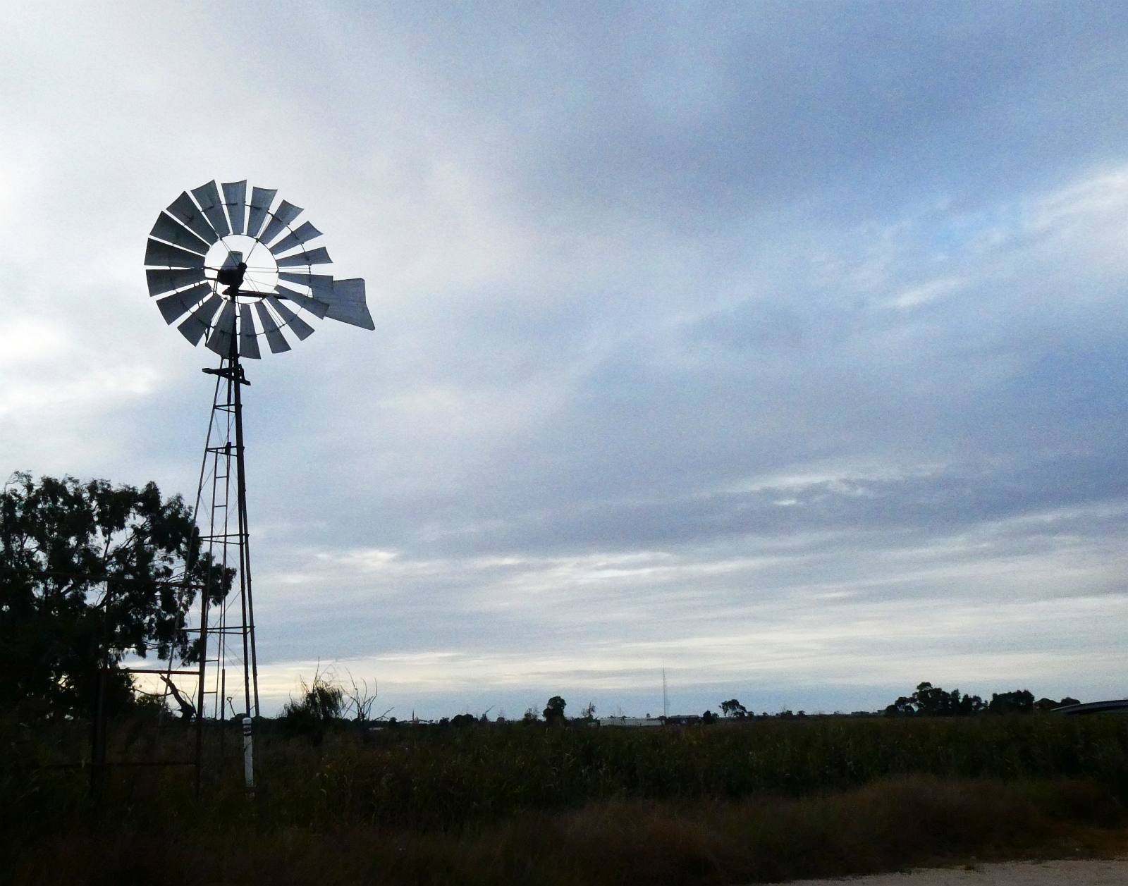
Then, we decided to stick our noses over onto the Copper Highway, the top end of Yorke Peninsula, just for ten minutes, before turning east. York Peninsula quite literally begins on this traffic island, where I'm standing to grab the shot in between monster trucks...


It's a parched, bleak and dusty landscape. Not terribly photogenic even in good weather, and the sky was deeply overcast. There wasn't much point going further, so we turned east, headed for Balaklava. I had ice cream on my mind at that moment! The weather grew progressively more and more dull, and though the ice cream was lovely (I relish Golden North), I didn't bother taking pictures of the town. I've photographed it before, in bright, wonderful weather; why do it all again, in the murk? If you're interested to see the town, plus a lot more of Port Wakefield and the Copper Coast highway, click here for the post on my travel blog, where the pics are bright and sunny, from 2013. The place hasn't changed by one iota, I promise you!
So: ice cream at Balaklava, then over to Auburn, and Gawler ... the expressway for home.
So ended Monday! Tuesday, the plan originally was for us to dawdle down to Kingston and Robe ... I threw open the curtains at about 6:30am, and if I was the cussing kind, I'd have cussed. Dismal! Plans changed again. A dawdle to Strathalbyn for takeaway coffee, then on via Langhorne and Milang, and around to Lake Alexandrina, to the far side of Lake Albert: Coorong National Park...


The sky was white, the light levels low ... I hadn't intended to shoot many pictures. But the trees are changing with autumn, the roses are in full bloom the little corellas chose that moment to flock by the thousand, and the wetlands along the river are full of waterbirds. So... why not? A stroll around the park which bisects the heart of town. I managed to shoot the equivalent of four rolls of film! Yes, I've photographed Soldiers Memorial Garden in brilliant weather, but ... what the hey?
We stayed long enough to drink a very good takeaway cappuccino, then ambled onward. Didn't stop in Langhorne or Milang (no reason to), and after making it within 30k of Meningie, we decided to look for somewhere to stop for lunch. We found a quiet little paddock at the dead-end of a path better suited to tractors, and set up for a really nice picnic...


That's Lake Albert, drowsing under heavy skies ... but it wasn't cold. The upside: peace, quiet, enough breeze that you didn't have to worry about mosquitoes (which are carrying some dangerous viruses this year). The downside: squadrons of flies, and ants had colonized the only really flat bit of ground for a major nest. And they were carnivorous. And I was in sandals -- aha. Move the table, quick as you like!
Suitably refueled, we headed for the town on the far side of Lake Albert. The Aboriginal name for the place -- Meningie -- translates out as "Mud." And they're not wrong! It's a vast lake shore, wetlands, reed beds, pelicans, more pelicans, and a lot of mud that smells ... odd. Pretty place, though...


The giant carved wooden pelican that looks like a totem pole (second picture from the top of this post, above the first block of text) is the work of a marvelously gifted local artist, and was done to "recycle" a tree that died on the roadside. Instead of cutting it down ... turn it into art. Great idea ... lovely piece of work. The town is very small; you're looking at a considerable part of it, in the above street-shot, in which the lake is off to your left, just out of picture. Quiet and peaceful, and rather off the beaten path. We were going through on our way to Coorong National Park...


If you've seen the 1976 production of Storm Boy, you've seen the best of the Coorong NP. (The movie has recently been remade, but the original, to me, is far preferable). Pelicans abound, it's wild, rugged, usually chilly, and in wintertime, downright cold. The wind was strong and sharp when I got these shots yesterday, at Long Point campground. By this time it was getting late in the afternoon, and we were a fairly long way from home. It fact, this was out turnaround point. No chance of getting to Kingston, and so on --
In fact, it turned out that heading further southeast wouldn't even have been possible. On the way back from the Coorong, not far outside Meningie, we ran into a police checkpoint. All westbound cars were being stopped to make sure people knew that if they were coming back from Victoria, they were heading into self-isolation. We were okay as far as we'd gone ... but really, no further than Nine Mile Road, to Long Point. So --
From there on, we made our way back to Wellington -- the ferry across the river -- for thermos coffee and Napoleon cake; and we were hoping for a really fantastic sunset to make up for the shortfall...


Well, we managed the coffee and cake, at least -- and got very slightly rained on! Six drops of water out of the sky. I just stood under this amazing, gnarly old tree. I love this tree, but it's close to impossible to photograph, because from every "good" angle, you have the public loo in the background, and if not that, the breather pipes of the septic tanks -- and if not that, the old, somewhat abandoned "Wellington Courthouse," which is not what you think. It's been a cafe and B&B for decades, but now is disused, starting to look a bit forlorn. I managed to keep most of it out of the shot, but you can see one corner of it, above.
So, what about this sunset?? Come on, Mother Nature, what can you do for us?
Answer: not today, kids! The sky was breathtaking, but no sunset colors...

If you'd like to see more of Meningie, Wellington and Strathalbyn in brilliant weather, click here for the best post on my travel blog. Now --
Three days of our holiday remain, but we have no idea what's going to happen next. We could wake tomorrow, read the news and discover travel bans closing the Fleurieu Peninsula to the south of us. I have a feeling we'll be spending the aftertoon in Belair National Park (!), but if we can take a wander down the coast to Cape Jervis, we'll seize the opportunity. If not ... fair enough. These are strange and difficult times. Let's get through it ... there's always next year.
Really love your photos and story so far. Stay safe. Things are really quiet here. Staying close to home and watching the rain.
ReplyDeleteThanks! Same here ... very quiet. Even road noise and commercial flights are almost nonexistent. We're just home for the duration -- dying for rain, in fact, but continuing warm, bright, dry.
ReplyDelete